
Seabed Mapping
Gardline Marine Services provide seabed mapping and related services in shallow & deeper waters, from 1km2 site surveys to 1,000km2 regional mapping programmes lasting three -four years. Gardline has developed expertise in management and presentation of large volume datasets to meet clients bespoke requirements in both: proprietary COTS analytical workstation formats (eg. Kingdom/Oasis Montaj, Caris), CAD (Microstation/AutoCAD) and GIS (ArcGIS/Geomedia) formats.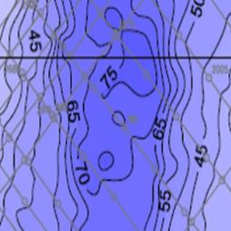
Visit the Gardline Marine Sciences Ltd website for more information on Seabed Mapping
ENQUIRY FORM
More Products